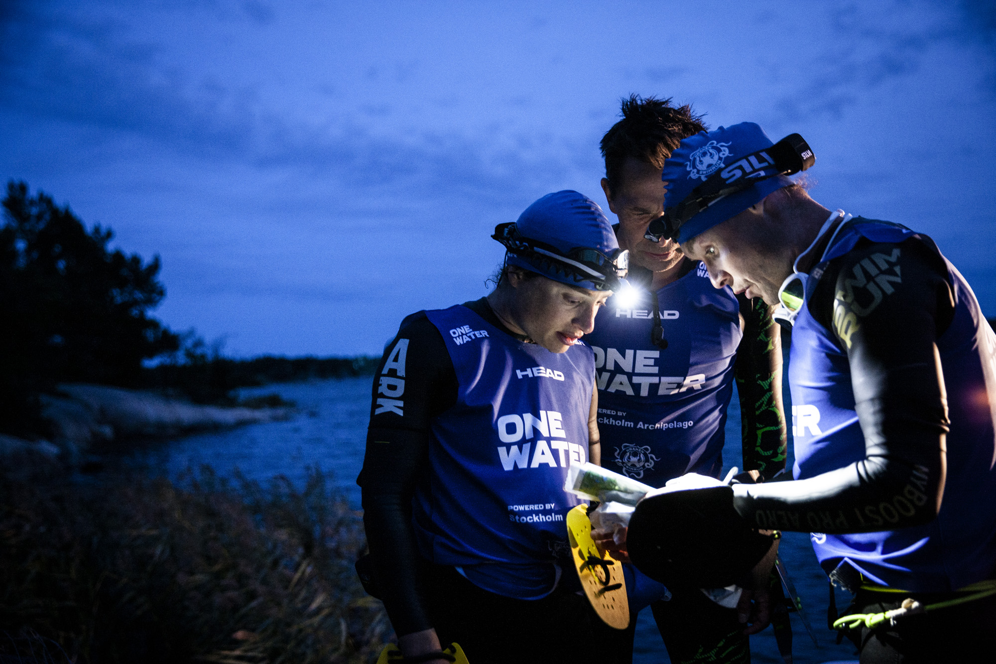
Navigation and orienteering are big parts of One Water Race. And that’s also the challenge we really love in this race.
As the race is designed, we don’t have a predefined course. The teams will only know where to start and where to finish. Along the way there will be a number of mandatory checkpoints to pass. The objects for the team will be, first of all, to decide which route is the fastest from one checkpoint to the next checkpoint. This will vary from one team to another, some will be stronger in swimming, others in running. The key is to be able to evaluate your team’s strengths and the conditions you are in and make smart choices from there.
Maps and navigation will be the racers most important tool and we are therefore very happy to have Stefan Kinell, head of navigation in our team – who is an expert in this area.

Hello Stefan, who are you and what do you do?
My background in this aspect is that I’ve been an active orienteer for many years and orienteering is a sport where speed and navigation are core elements. We don’t do as long races as OWR, but we do need maps in the same way. I’ve been doing this sport since I was a kid, I was pretty good as a junior, nowadays I act more as a coach and help the athletes in our team to do their best.
What’s the thing with the maps?
To do this sport you need maps and the last few years I’ve spent quite a lot of time looking at how to make maps in a new, innovative way. So, I have become a specialist in making computer generated maps, from different existing data available and from that build very detailed maps for special purposes.
Will the best map reader win the race?
The objective is not to see who the best map reader is here. We will do everything, from now to the race, to help the teams to understand how to interpret the map and to make these choices. I would like the teams to feel that I’m on their side in this and will help them and give them some tips and tricks on the navigations and orienteering skills of how to think.

What kind of advice do you have for the teams?
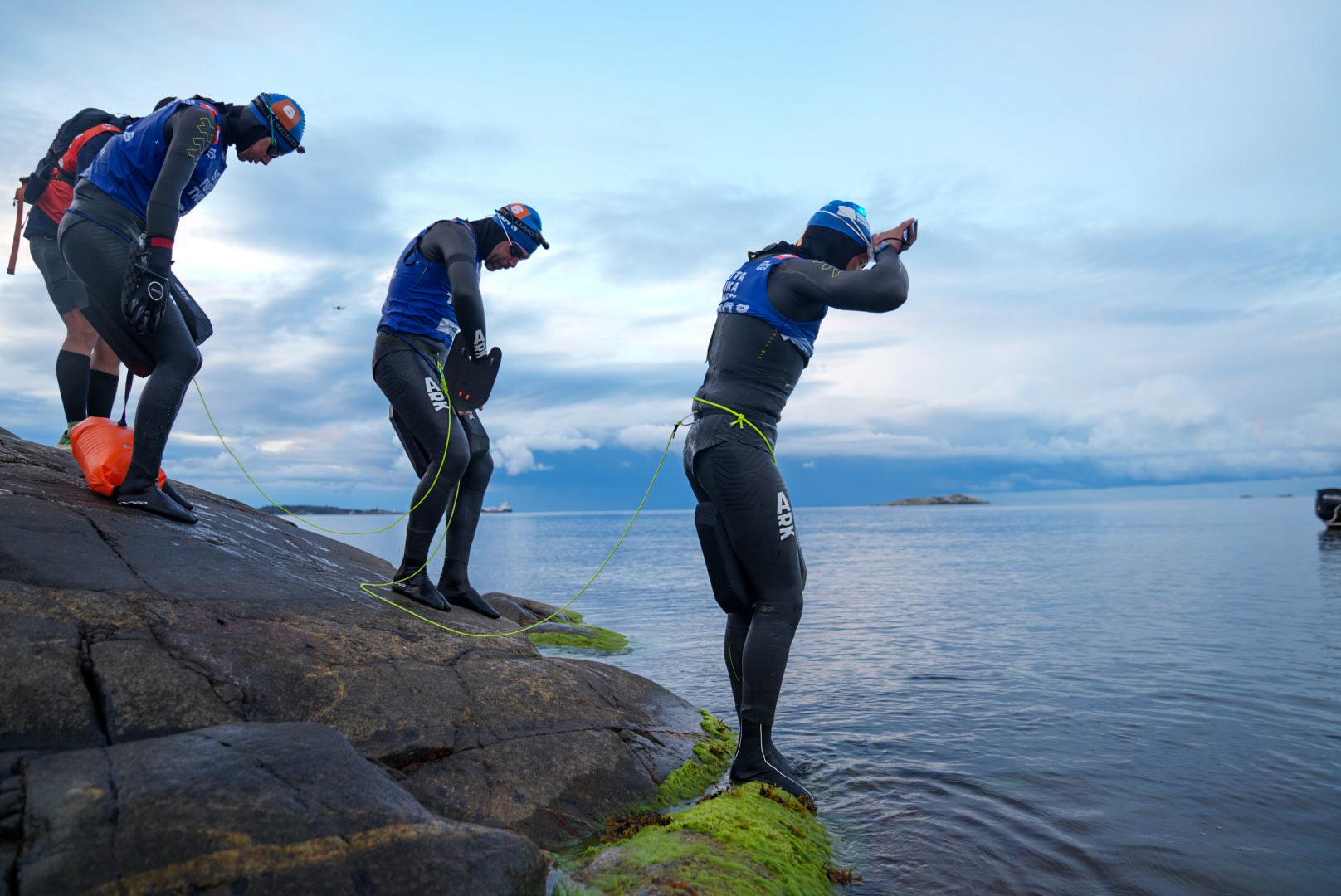
One of the first pieces of advice I will give the teams is to make sure you know your skills. Make sure you know your pace when you run on a road or a path, when you run through a forest and when you swim. If you have this base element, you can make smart choices. Should I cross the forest, should I go to an island where there are roads to run on, or do I dare to take a shortcut and swim to a totally “wild” island. Because that’s what’s cool with the Stockholm archipelago, there are islands where many people live and where there’s a lot of houses, but then there are islands which has not a single path on it, like a deserted island.
We know some islands in the archipelago that are extremely difficult to navigate on and the terrain is awful.
Yes, and here the maps will help to decide, is this a fast island or a slow island? There are things you can read from the map to know this, from the surface, is there a lot of bushes and trees here or just flat rocks for example.

What do you have to say about the terrain?
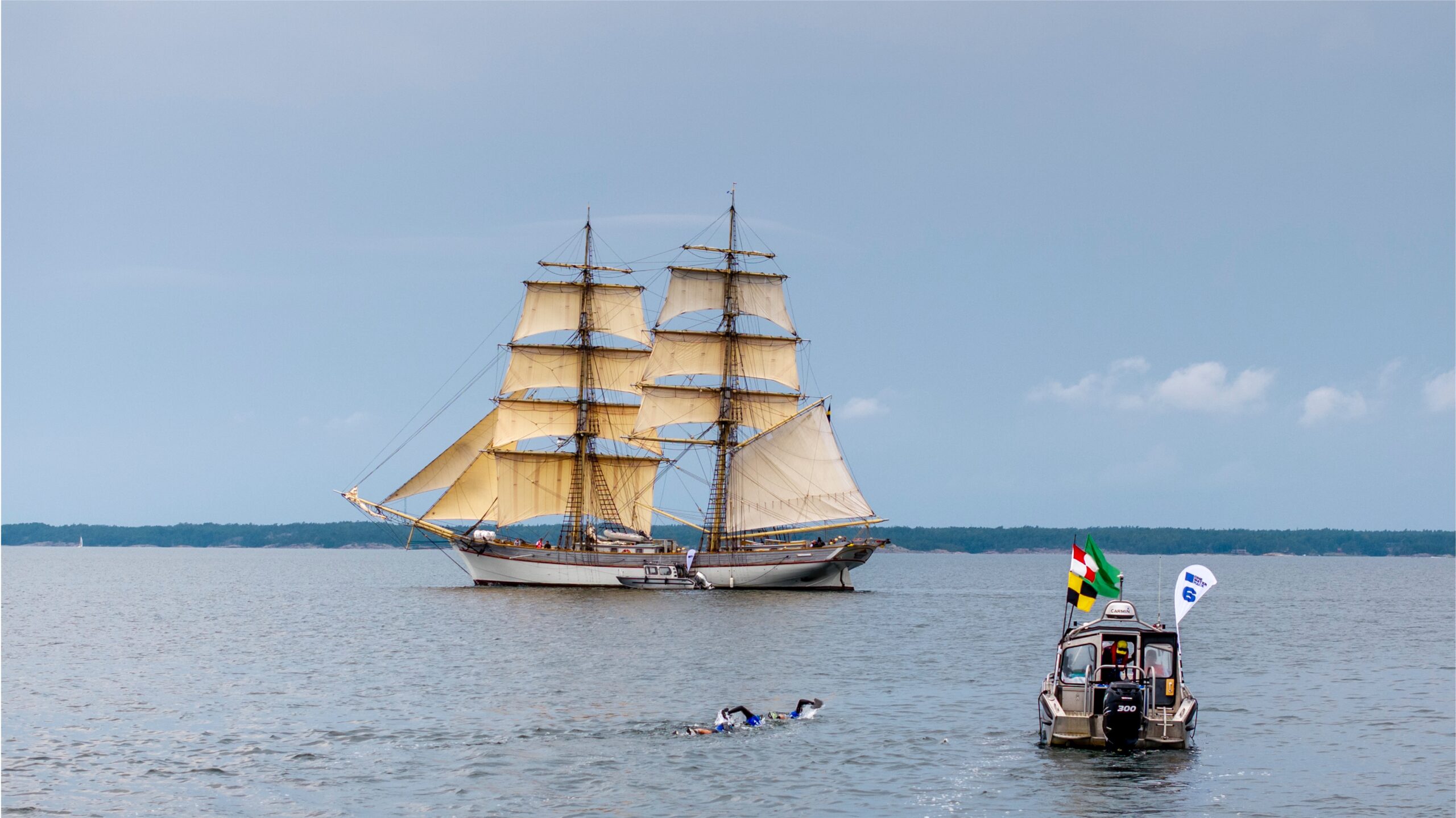
It’s absolutely gorgeous out there. The teams will have a smile on their faces while running and swimming. One of the things that make it so wonderful is in some places it’s totally open and the only thing you see is the ocean and small islands all over the place. And then you go 500 meters inland and you are in a deep forest that could be anywhere in Europe. You can’t see the ocean and are in a totally closed environment.
Most forests are in general pretty nice to go through, but again, if I had the choice to pass the island on a path or through the forest, then I would most likely choose the path. It’s faster and you save energy. But then there are areas that are very bushy and a lot of fallen trees that can be hard to pass. One way to win the game of navigation is to simplify everything. Make sure you find big objects to navigate from and follow things that help you know exactly where you are.
How will the teams use the maps during the race?
Before the race the teams will have the maps digital for preparations and study. But during the race when no computers, phones or digital navigation tools are allowed then it will be just the teams with a printed map. The teams will get one big overview map and a series of smaller, more detailed maps for the different parts of the race course.
The team’s objectives are to choose the fastest way from one point to another and make that decision by themselves. During the race, I’m pretty sure that there wouldn’t be two teams that have gone the same route. It’s the team’s choice and will be made from what’s best for their team’s capacity.
Good luck, teams!


